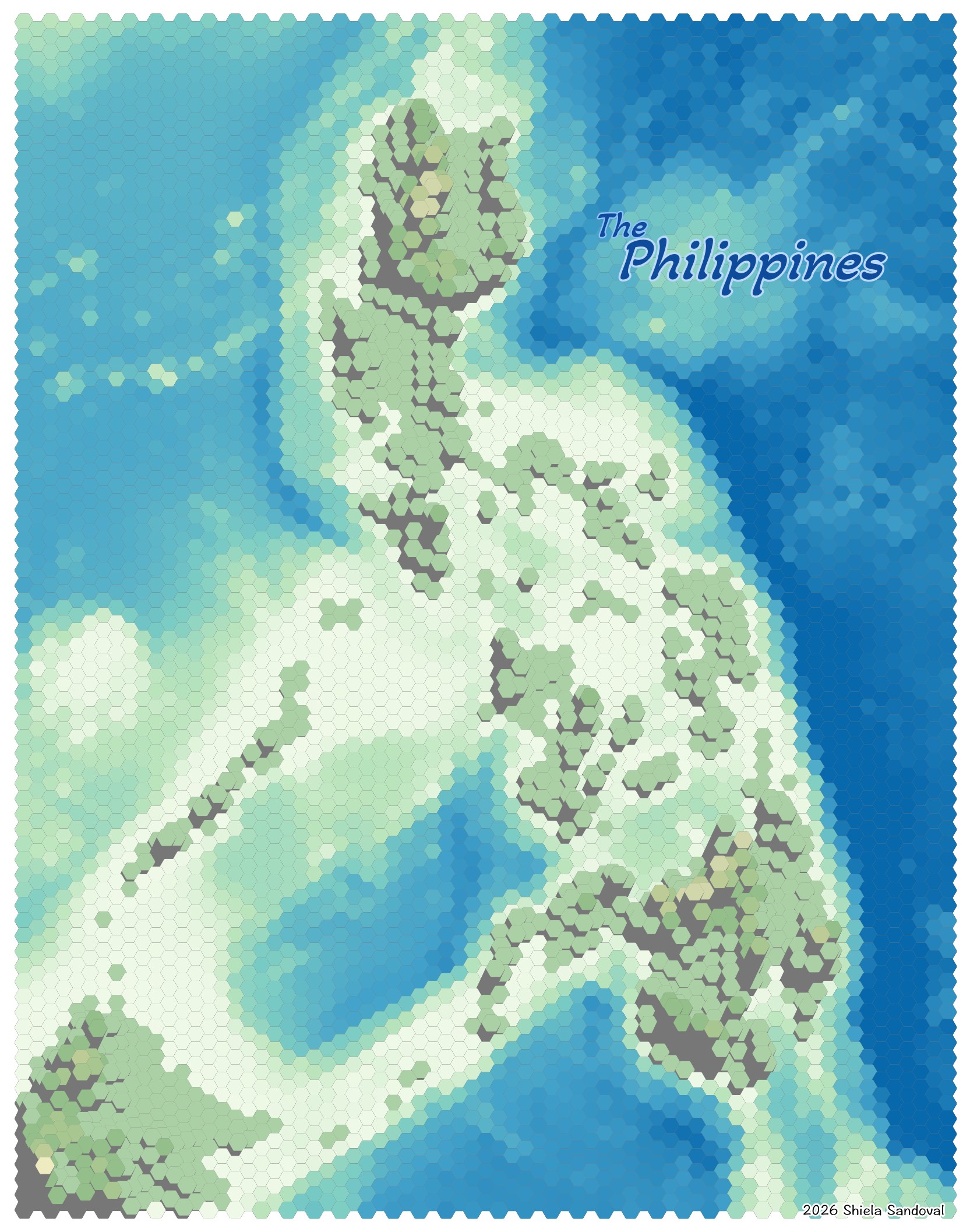
Gridded elevation map of the Philippines
- Artsy
- April 3, 2026
Shiela Sandoval
I made this map in the process of learning how to process elevation data in QGIS. I used the 2.5D renderer to emboss areas in higher elevations. Then I applied a blue-green colour ramp to shade the low elevations (from the level of the ocean floor) with blue hues and higher elevations (islands and surrounding land submerged in the ocean) with greenish hues.
Data sources
- Tozer, B, Sandwell, D. T., Smith, W. H. F., Olson, C., Beale, J. R., & Wessel, P. (2019). Global bathymetry and topography at 15 arc sec: SRTM15+. Distributed by OpenTopography. https://doi.org/10.5069/G92R3PT9. (Survey Date: 02/11/2000 - 03/20/2023)
Tools used
- QGIS 4